Master thesis - Hyperspectral imaging of vegetation

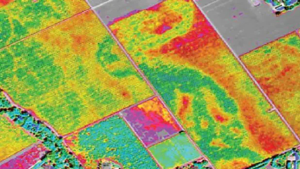
Context: Drone-based yperspectral imaging of vegetation has the potential to identify plant water stress across the landscape. It is hypothesised that at this scale, effects by limited moisture availability in the rooting zone are not evenly distributed and potentially relate to topographic gradients and vegetation-groundwater connectivity.
Aim: The aim of this thesis is to perform a pilot campaign for a one-time assessment of the spectral property of the surface reflectance in a forest near Bern, relating patterns to species identity and their position in the landscape.
Methods: Drone-based hyperspectral images and LiDAR data processing and analysis.
Requirements:
- Basic understanding of remote sensing.
- Experience working with R or other data science tools is a prerequisite.
- The student writes the thesis in English.
Supervision: Dr. Yousra El-Mejjaouy and Prof. Benjamin Stocker
Important: Earliest starting date is 1 Feb. 2026